LiDAR ANNOTATION SERVICES
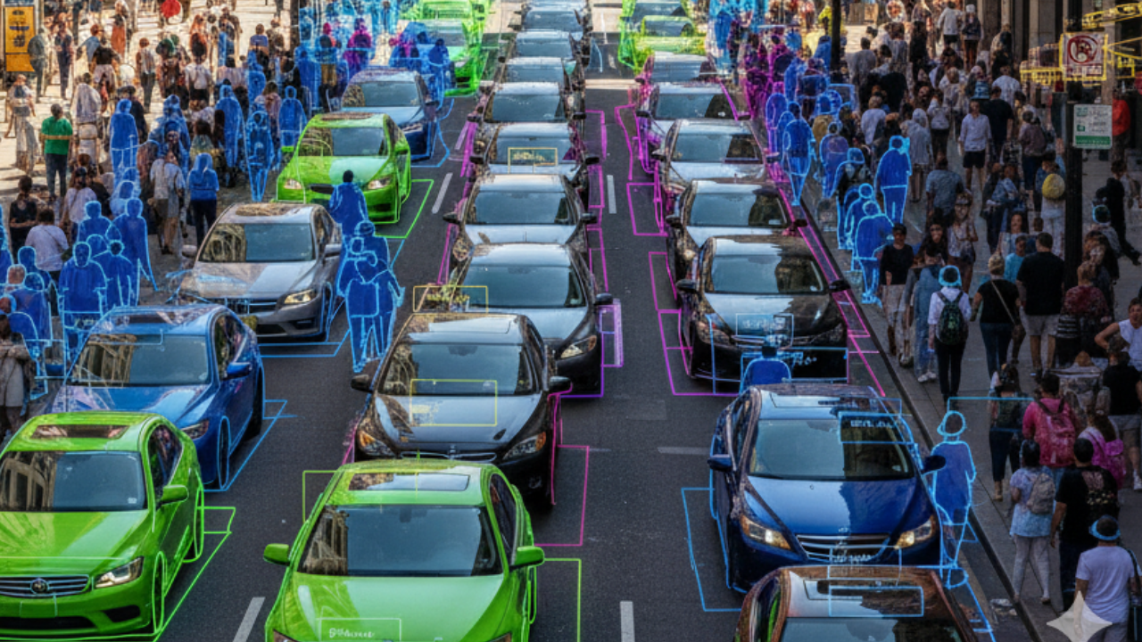
At Northern Base AI Labs, we provide advanced LiDAR annotation and labeling services for businesses comparing a LiDAR annotation company for precise 3D AI and machine learning models. Our point cloud annotation services include point cloud segmentation, object detection, and semantic labeling, ensuring accurate detection, classification, and annotation of objects in 3D LiDAR scans for applications like autonomous vehicles, robotics, urban planning, and geospatial mapping.
Check Your Image & LiDAR Annotation Needs
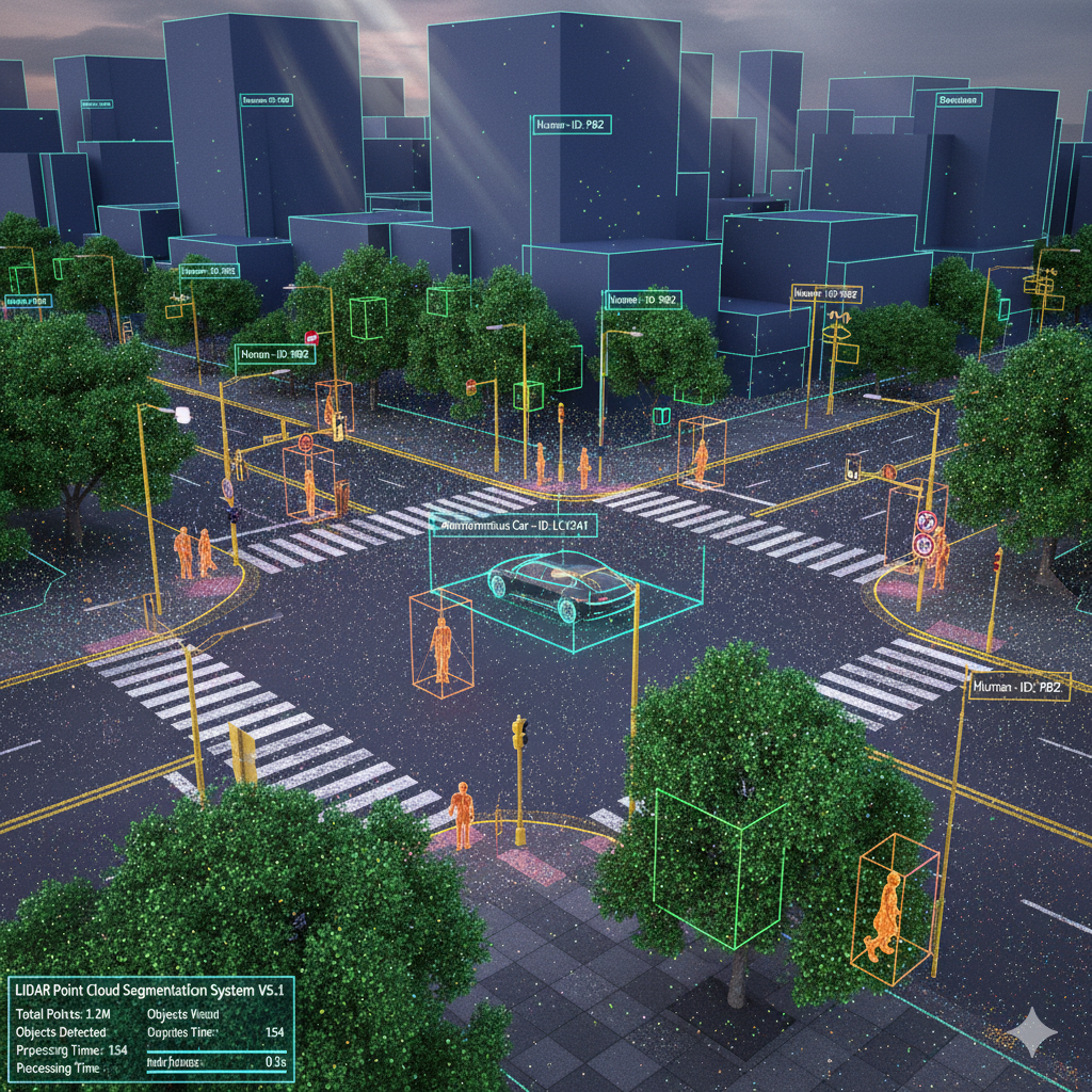
LiDAR Point Cloud Segmentation
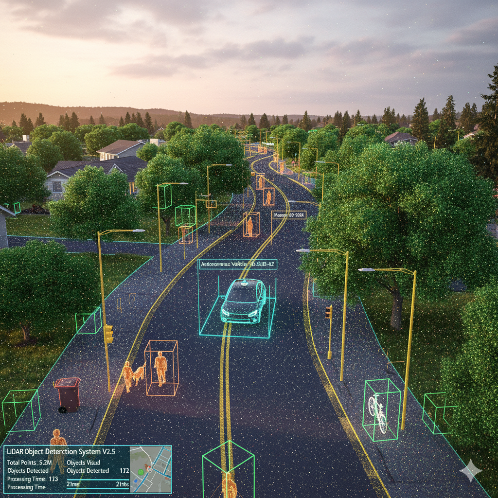
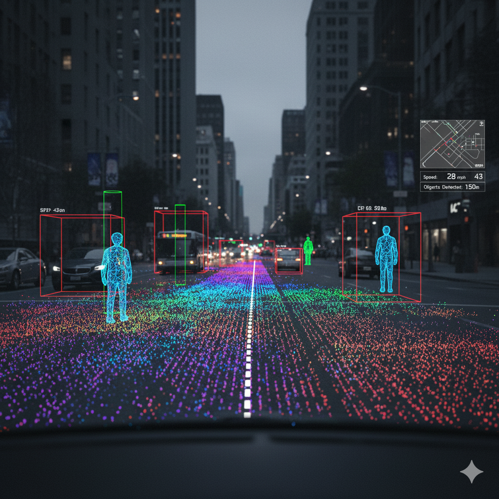
3D Bounding Boxes (LiDAR)
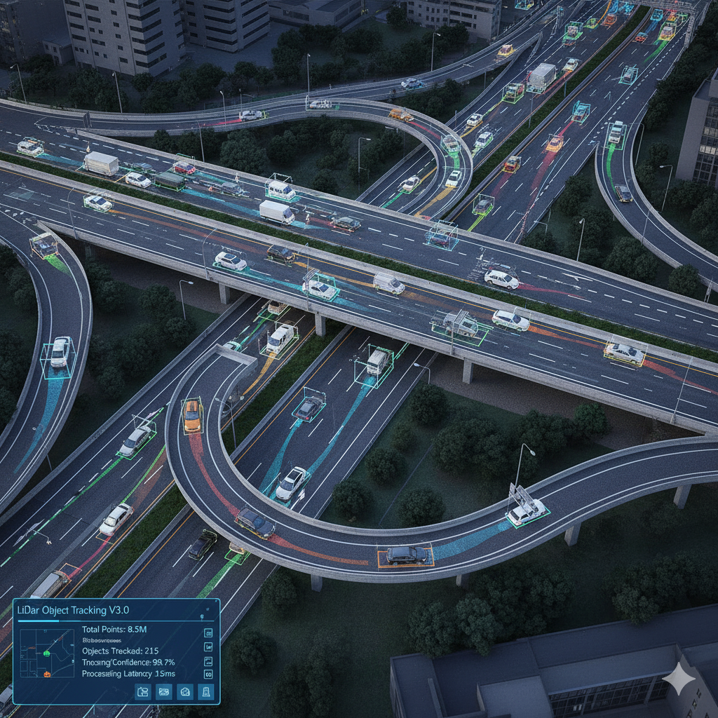
LiDAR Object Tracking
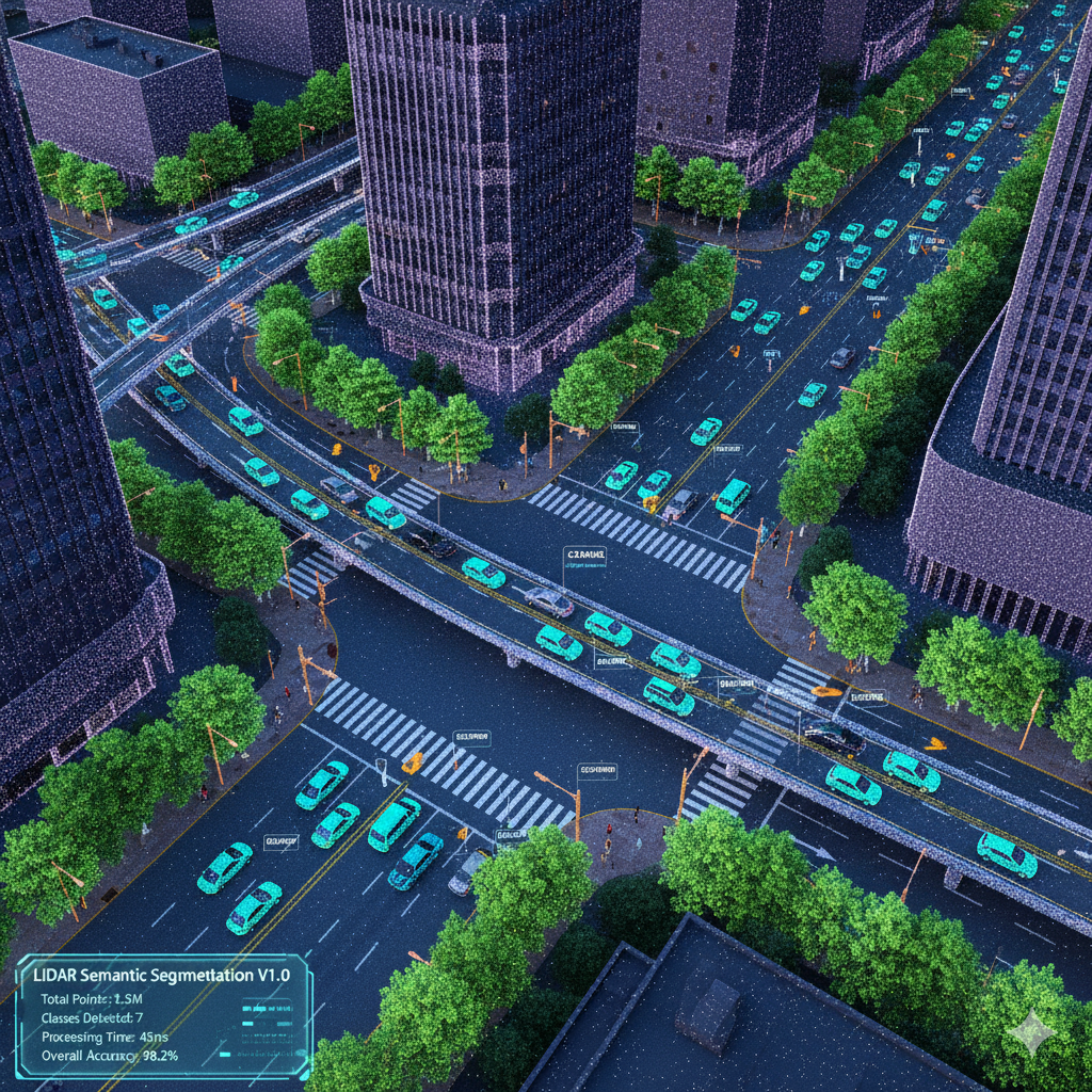
LiDAR Semantic Segmentation
Industry-specific LiDAR Annotation Services
Autonomous Vehicle LiDAR
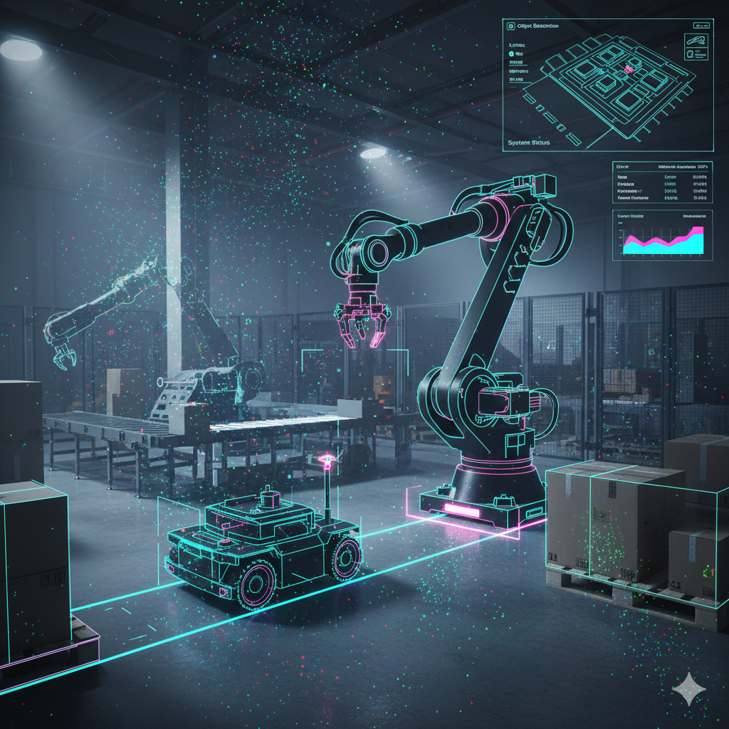
Robotics & Industrial LiDAR

Urban Planning & Infrastructure
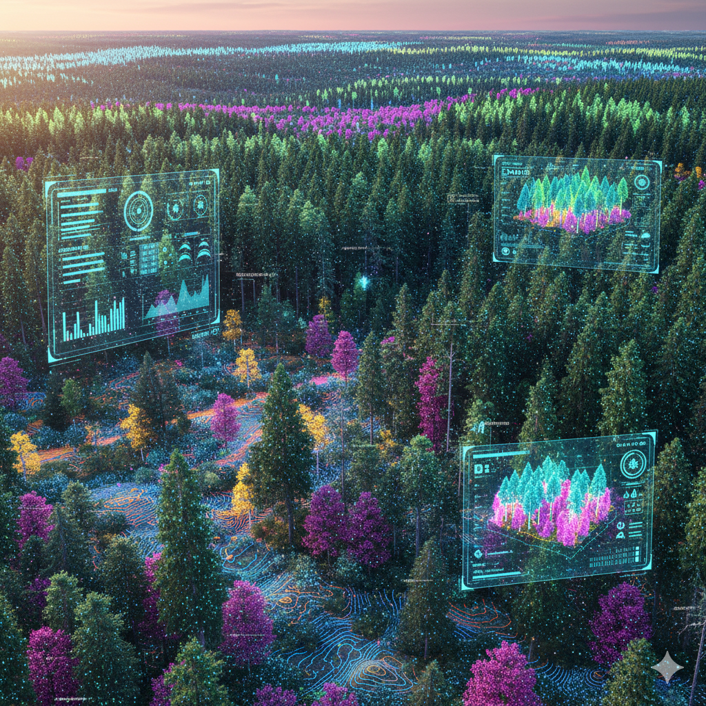
Forestry & Environmental Mapping
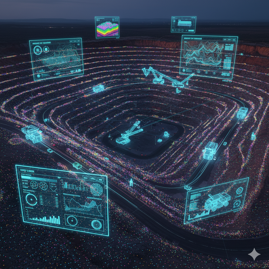
Mining & Geospatial LiDAR
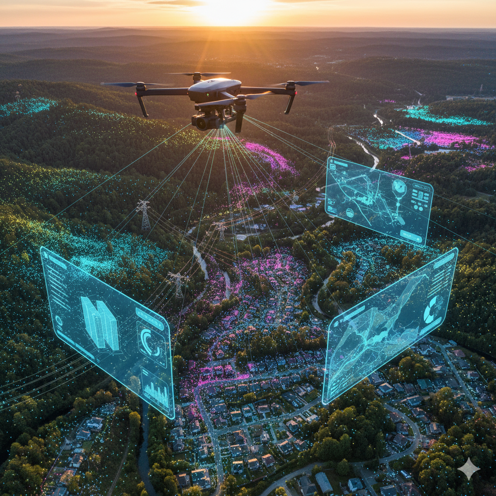
Drone & Aerial LiDAR
AI That Works for You
Why Choose Northern Base AI Labs
No Commitment
Check our performance based on a free trial � no obligations, just results.
Flexible Pricing
Pay per labeled object or per labeling hour � scale as you grow.
Tool-Agnostic
We work with every labeling tool � including your custom platforms.
Data Compliance
Your data is protected with enterprise-grade security and compliance practices.
Scalable Workforce
Instantly expand your labeling capacity with skilled, AI-trained specialists.